
FireSight extends coverage across the entire Apennine range
July 7, 2026
Knowing where the fire will move, and how fast, is essential to protect assets, communities and natural habitats. Get accurate spread forecasts in seconds and make informed decisions when they matter.
Fast, accurate forecasts based on real conditions: wind, vegetation and elevation, plus customizable inputs, with results in seconds.
Launch simulations with one click on active clusters, ignition points or custom shapes. Adjust the parameters to explore scenarios and view spread over 24 hours with time-step animations.
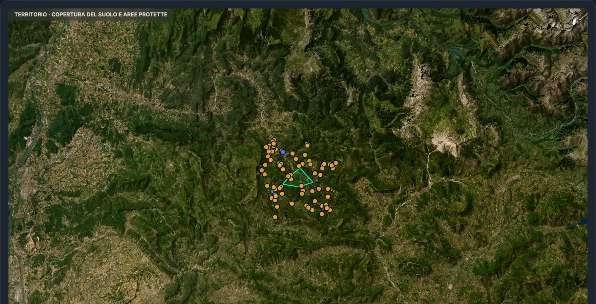
FireSight provides near-instant, accurate spread forecasts to make data-driven decisions in high-risk scenarios. It cuts response times, supports critical decisions and simplifies fire management: you stay one step ahead of the fire.
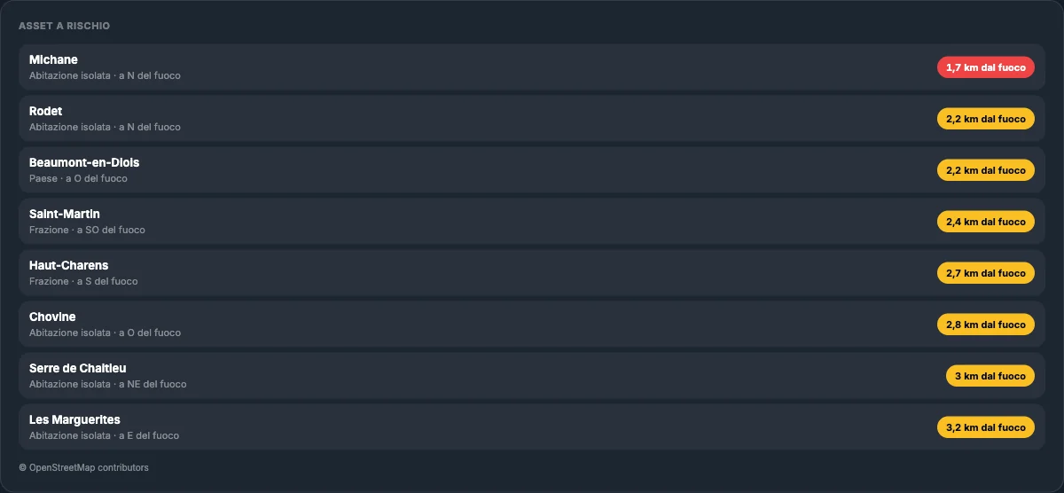
Know where the fire will move, right away. Real-time simulations with one click, based on Rothermel, ForeFire, WindNinja and proprietary ML models.
Scenario-based simulations: tailor forecasts to local conditions by adjusting wind, direction and fuel moisture.
Save and compare multiple simulations per cluster, coordinate the team. Export to GeoJSON or KML, or share with a link.
Global datasets like Copernicus DEM for elevation and ESA WorldCover for vegetation, plus custom inputs for local precision.
Situational awareness with step-by-step animations of the spread over the next 1-24 hours.
Use FireSight in the 3Bee platform or integrate it via API into your systems, for tailored fire management.
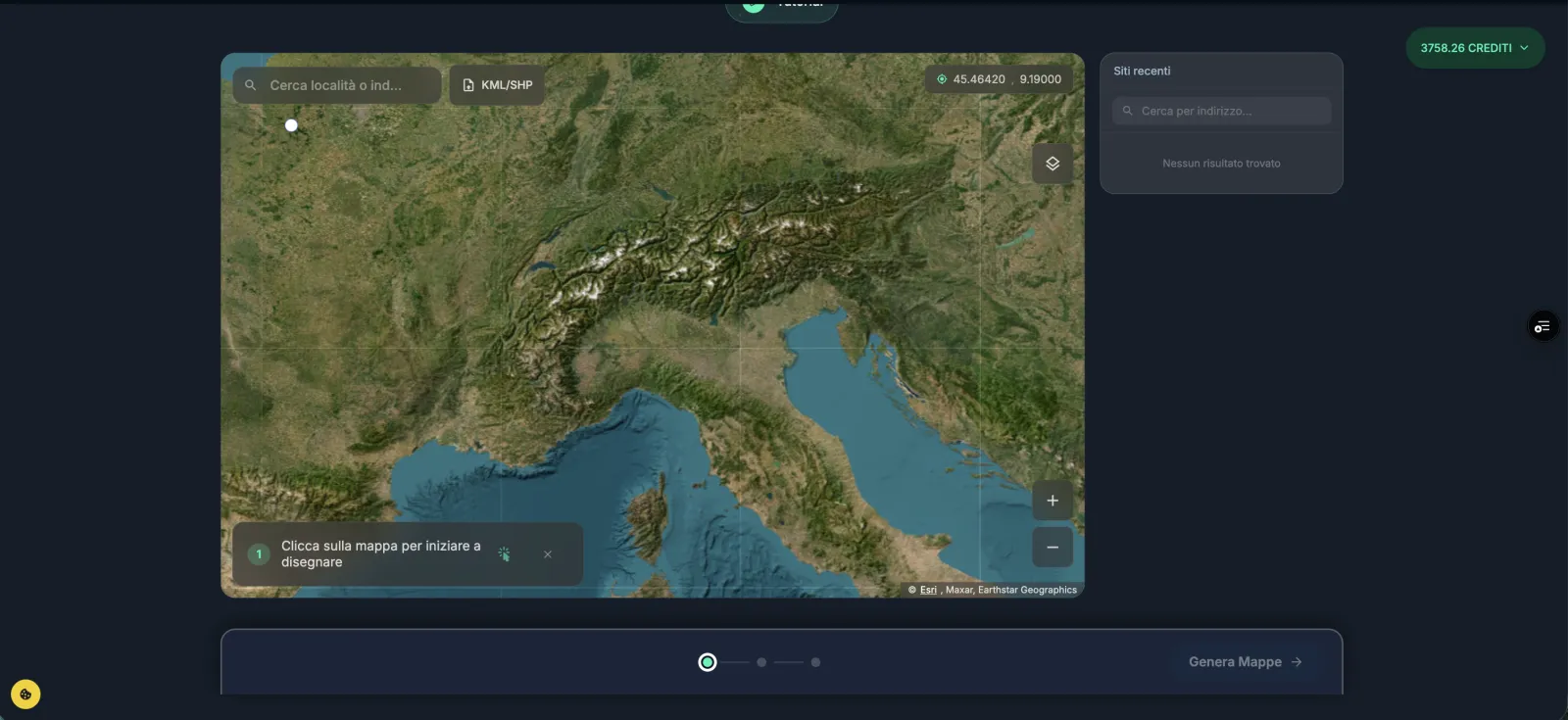
Draw your area of interest and generate the maps your fire plan needs: land cover, biomass, elevation. Global data like Copernicus DEM and ESA WorldCover, combinable with your local inputs for maximum precision.
Beyond forecasts, FireSight includes IoT sensors that detect smoke and thermal anomalies in the earliest stages of a fire: the analysis runs directly on the sensor, with edge computing algorithms, and the alert goes out right away. The detection point becomes the ignition from which to launch the spread simulation.
Allocate resources where they are needed, starting with the most vulnerable communities. Fast, coordinated responses for public safety.
Learn more →Immediate alerts when fire threatens grids and critical assets. Accurate forecasts to protect, reroute loads and recover sooner.
Learn more →Monitor nearby fires and protect your heritage: know when and where a front can become a threat and plan your response.
Learn more →Anticipate fire behavior to defend your carbon sequestration projects: prevent avoidable emissions and protect the value created.
Learn more →Bring FireSight to your territory with fast, accurate spread forecasts tailored to your needs. Choose the path that fits you: public entities can activate a full free demo, private users and companies get a tailored quote.
Don't see your question? Whether you want a demo, to explore a partnership or just to talk, we are one message away.
Contact us